
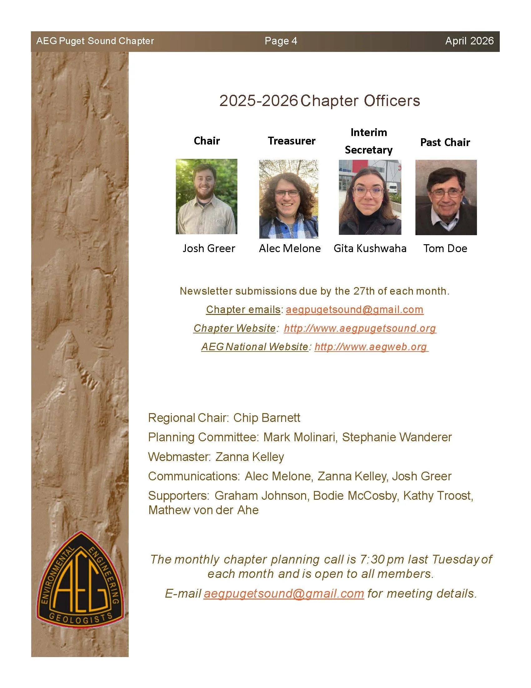
April 2026 AEG Newsletter
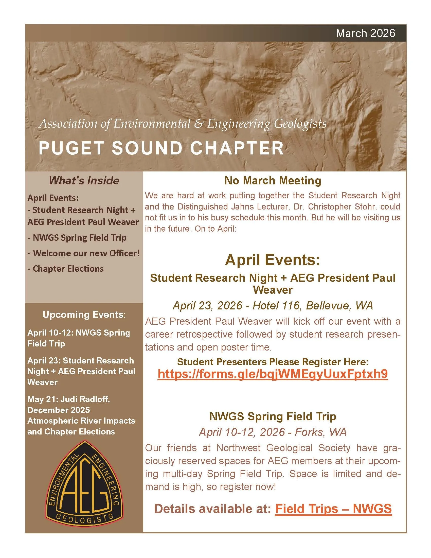
March 2026 AEG Newsletter

February 2026 AEG Newsletter
January 2026 AEG Newsletter

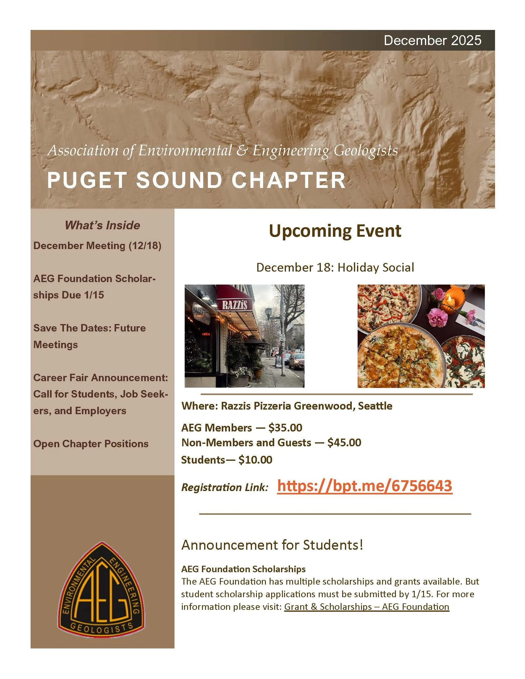
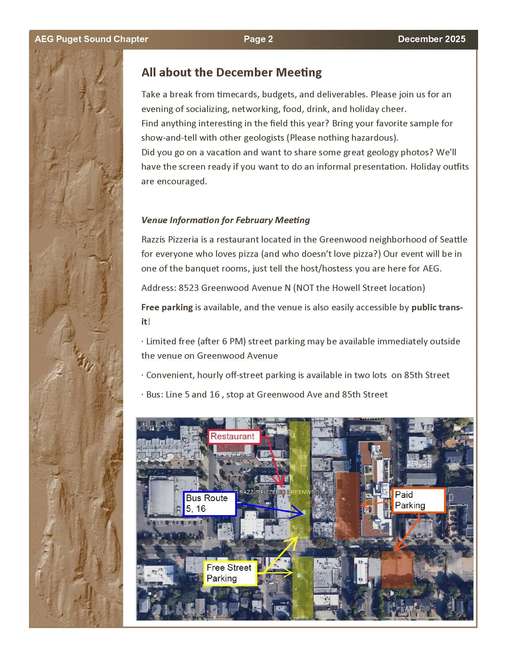
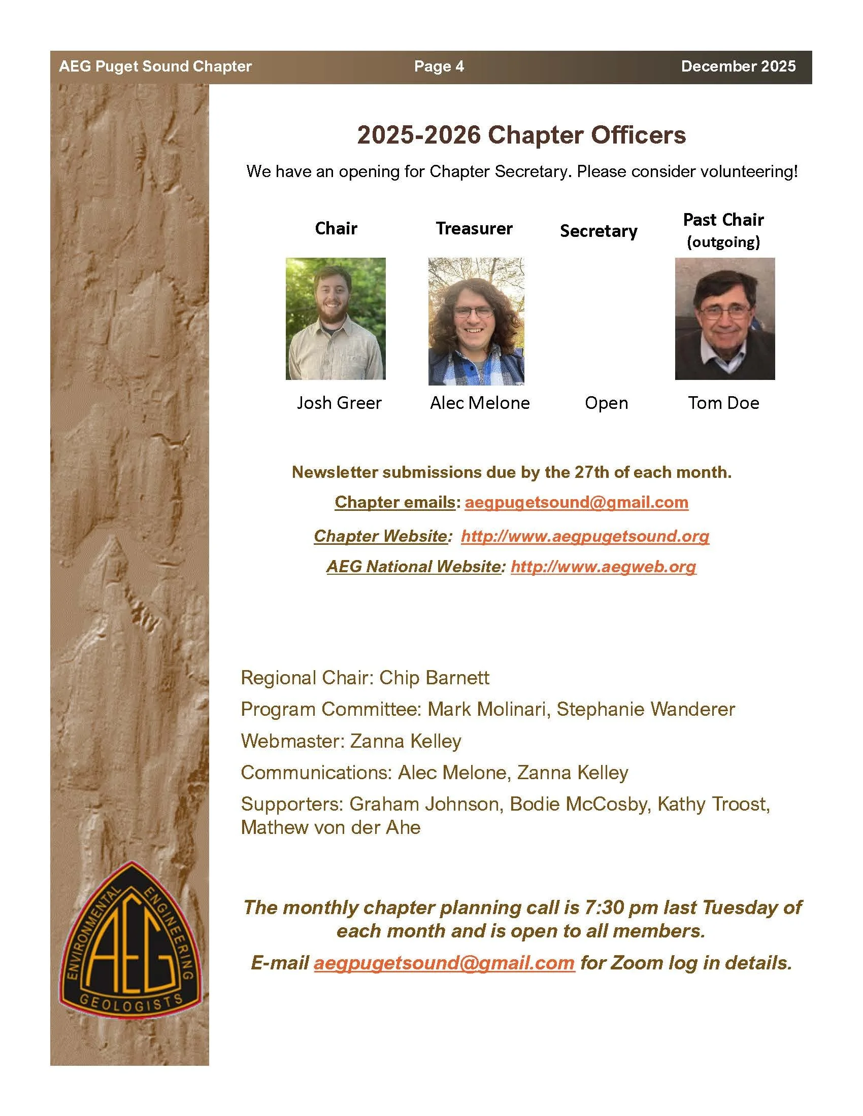
December 2025 AEG Newsletter
November 2025 AEG Newsletter


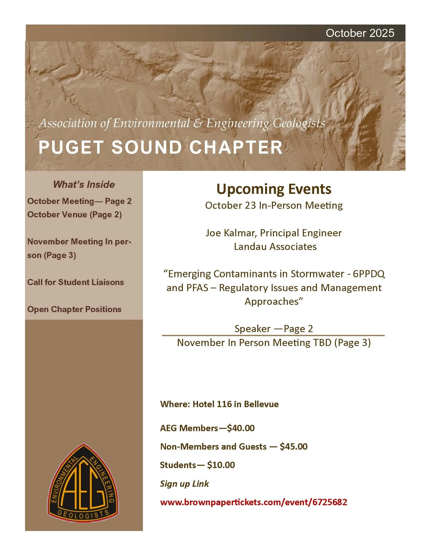
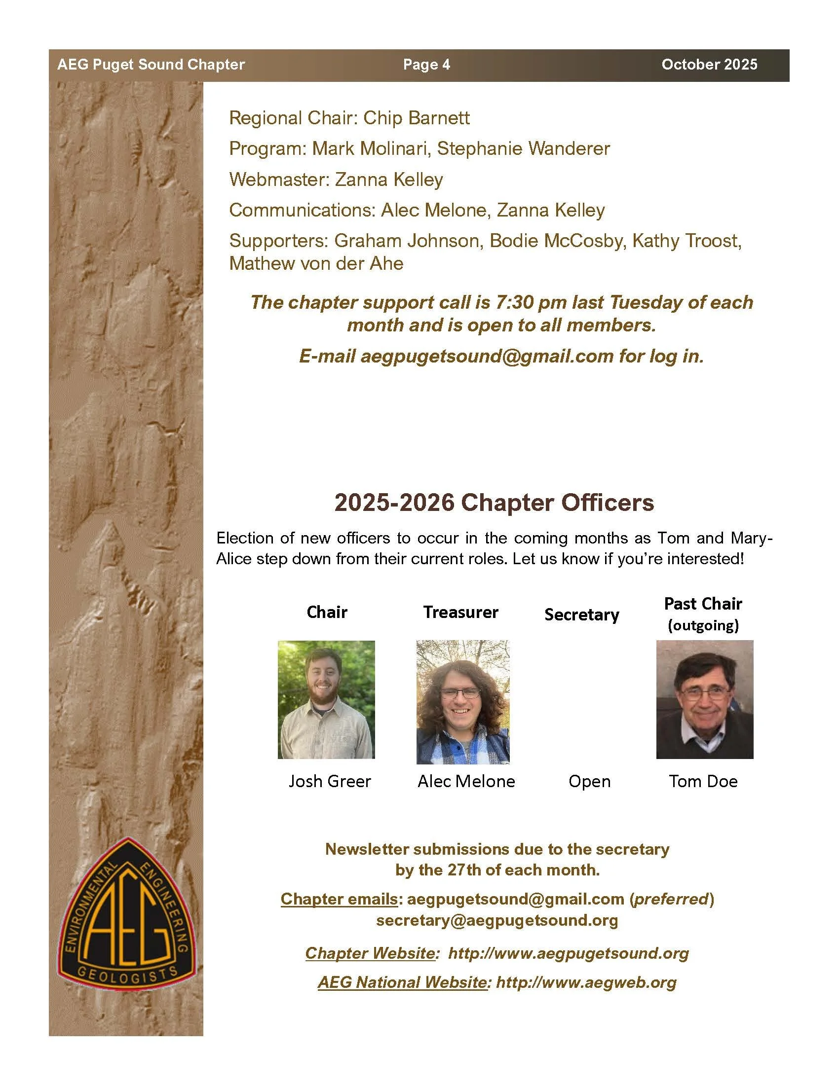
October 2025 AEG Newsletter


September 2025 AEG Newsletter


May 2025 AEG Newsletter


April 2025 AEG Newsletter


March 2025 AEG Newsletter


February 2025 AEG Newsletter


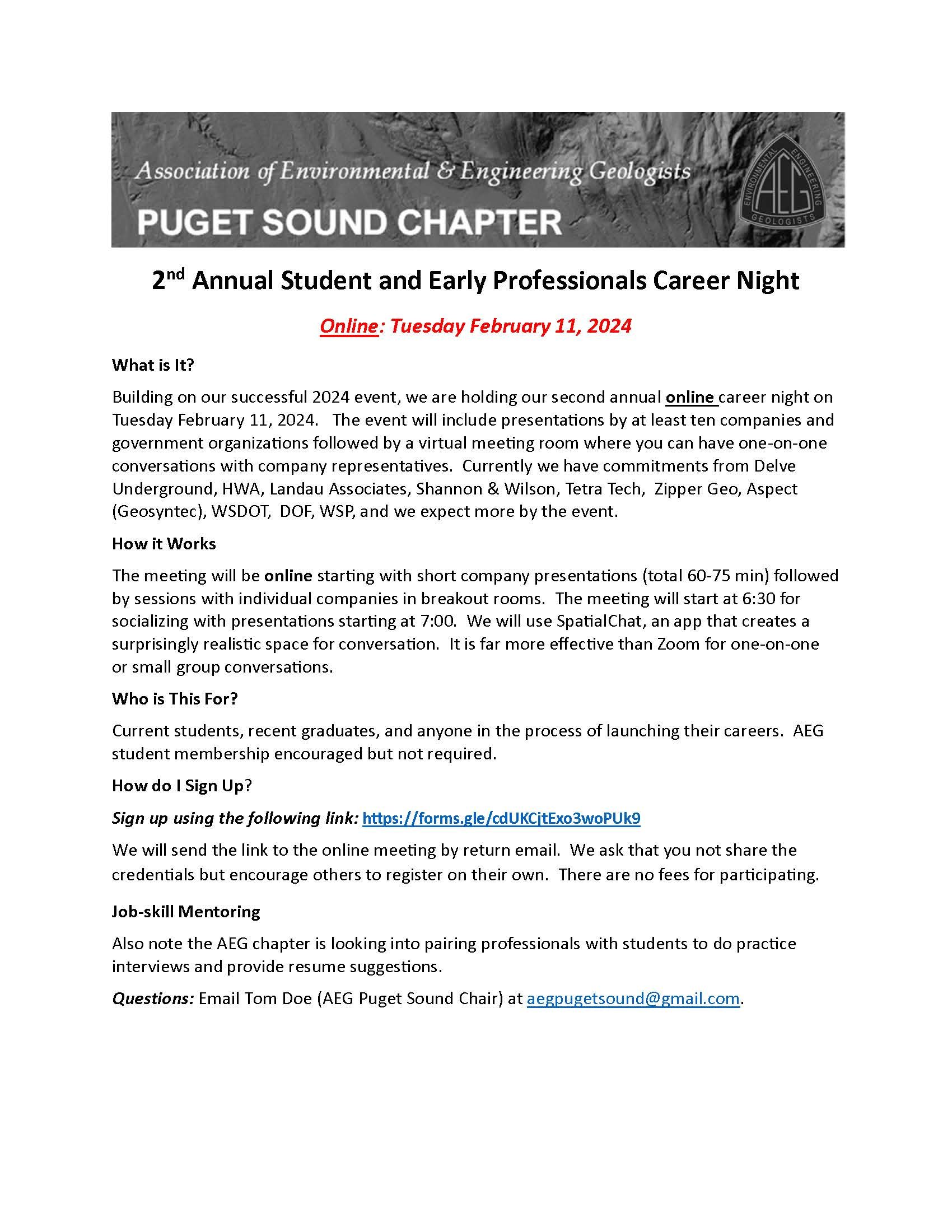
Reminder! AEG Career Night Coming Up
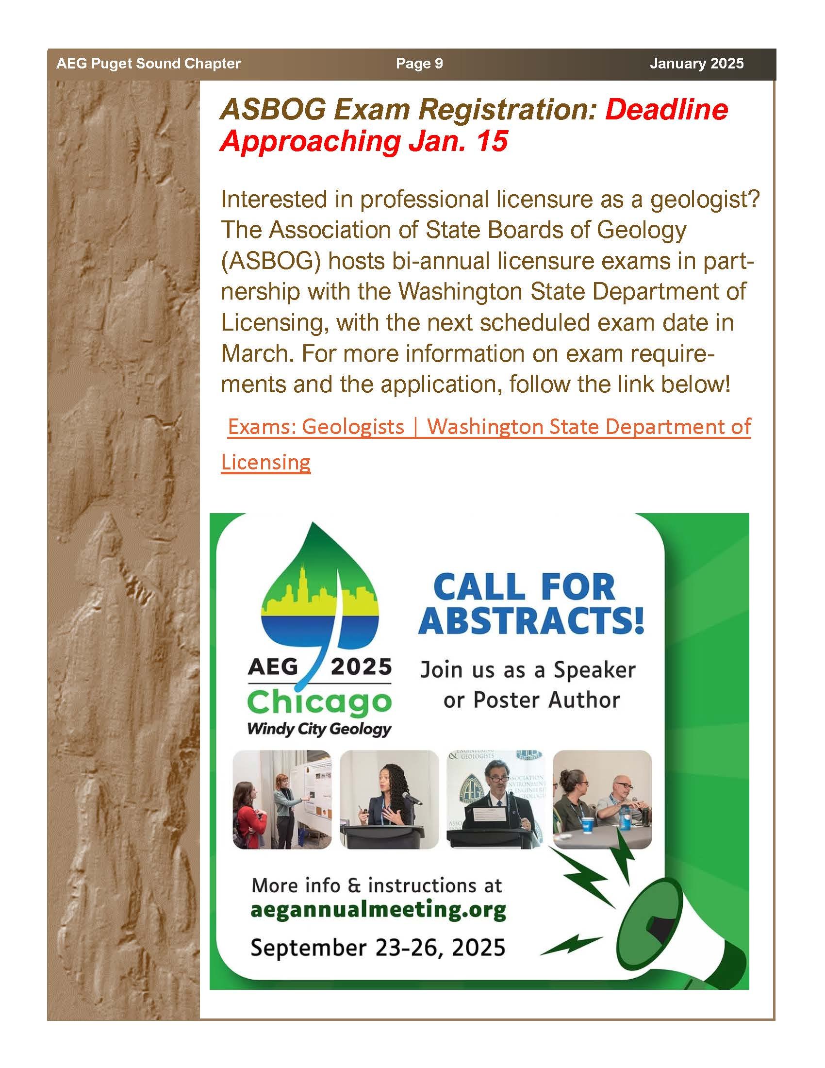
January 2025 AEG Newsletter


December 2024 AEG Newsletter

Click here for the Brown paper Tickets link.


Teams Meeting is linked here.

AEG Foundation Grant and Scholarship Website.


Please visit the Job Postings page for clickable links.
October AEG Newsletter (Corrected)

Please click here for an active registration link: Brown Paper Tickets

Follow this active link for the Zoom meeting


Please follow this link to go to the AEG Foundation Scholarships

Follow the link below to go to the Job Openings Page: